Balloons and kites are often associated with parties, summertime and the outdoors, but have you ever wondered what the balloon could see from way up high? Researchers have been using aerial photography since at least 1880 for archaeological work (7). Though the cameras weren’t nearly as efficient and detailed as they are today, they were still used to make rudimentary maps of archaeological sites, providing a different perspective (7).
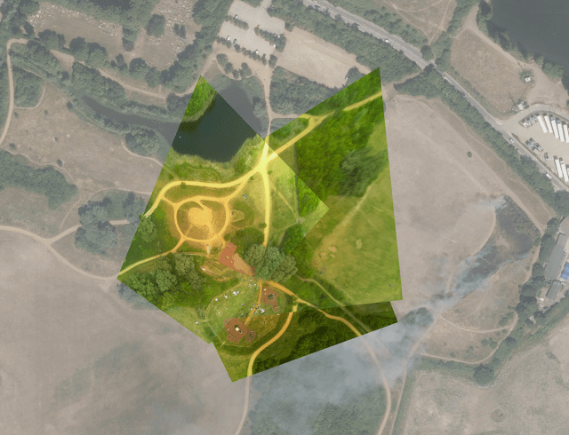
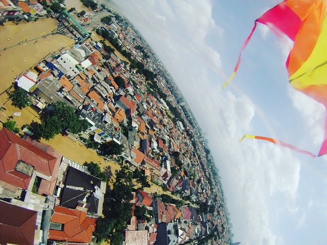
Even with the development of drones, balloons and kites are still used today to create detailed images of coastlines (3), rainforests (4), and changes in the landscape (2).
The basic idea is to fill a balloon with helium (or create a kite out of basic materials), affix a camera or other recording device and cast off! The recording device will document in still photos or videos.
In one case, kite mapping was used in Alaska to monitor the change in vegetation, permafrost and ice patterns overtime (2)
In another case to develop a map of an island coastline in Indonesia, a camera was attached to a kite, and the kite was pulled around the island by a boat as it snapped photographs along the way. The photographs were stitched together using computer software to create a 1:2,000 scale of the coastline (3). How cool!